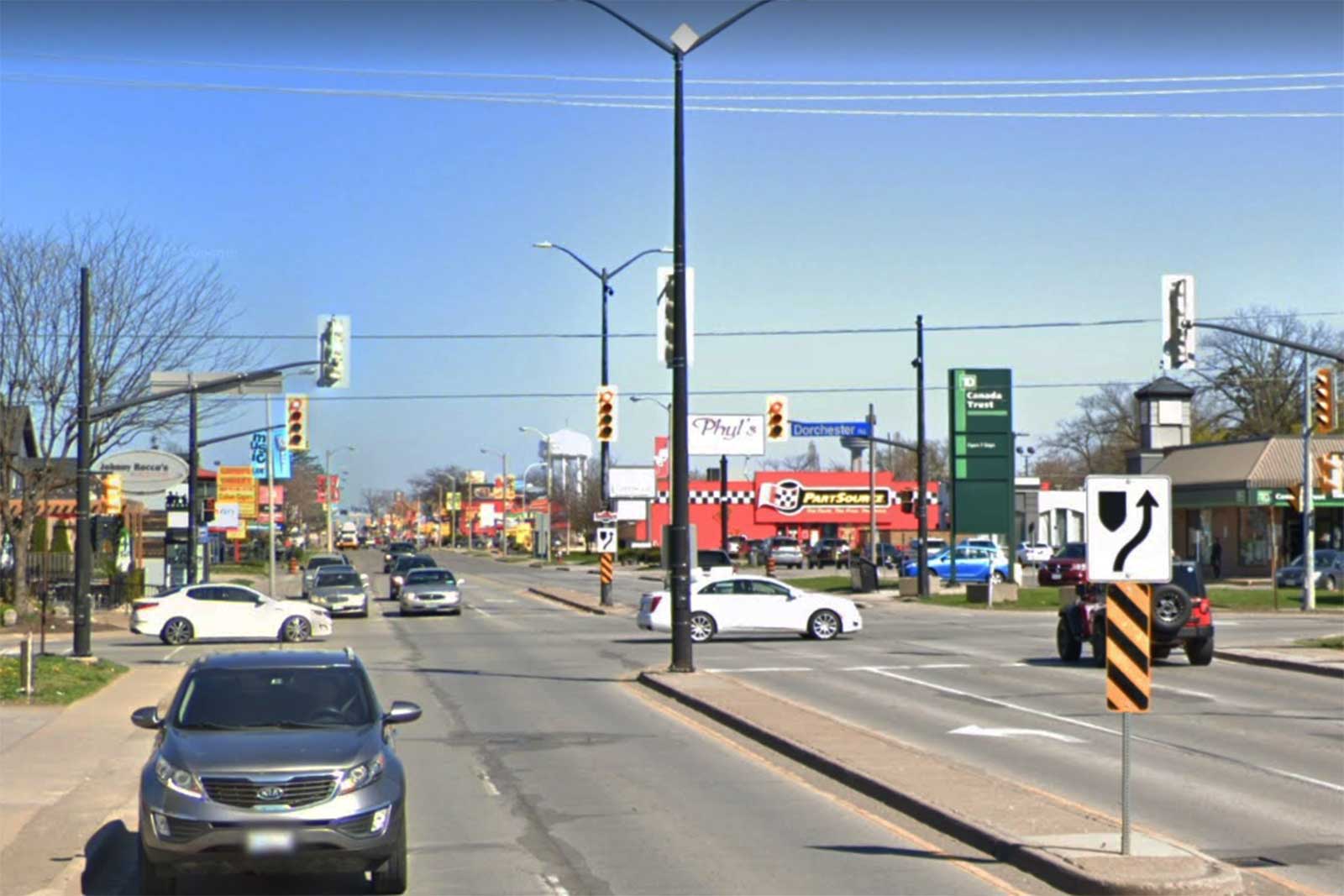
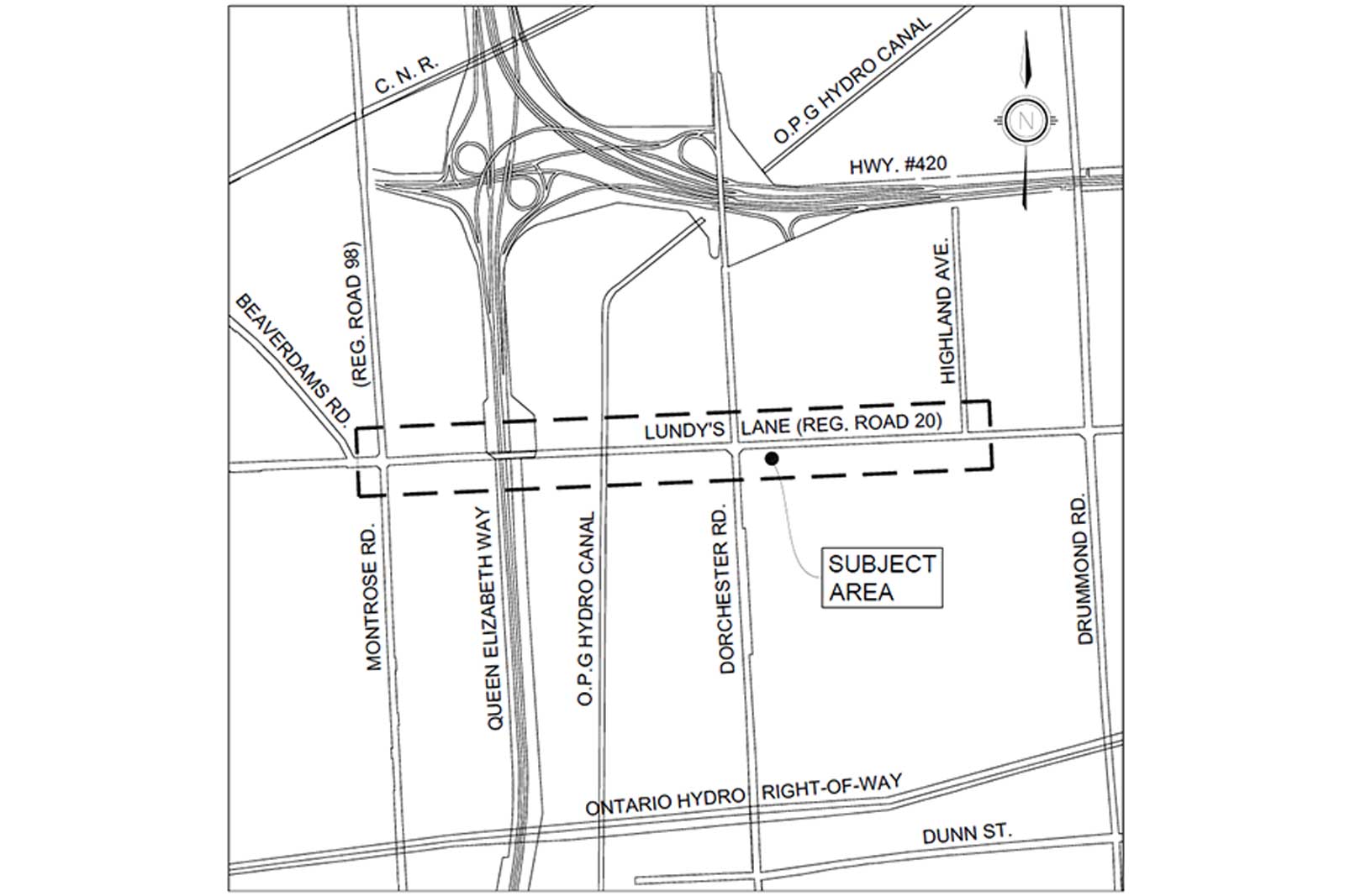
Lundy's Lane (Regional Road 20) is a major roadway extending from Allanport Road (Regional Road 82) in Thorold to Main Street in Niagara Falls. Lundy's Lane provides direct access to the tourist area of Niagara Falls and crosses two major barriers: the QEW and the Sir Adam Back Power Canal. Lundy's Lane is also a significant part of the Niagara Falls tourism industry.
Due to the nature of the study area, there are a high number of both left and right turns into businesses and developments. Records show that there are also high instances of motor vehicle collisions, and accidents involving vehicles and pedestrians. As a result, Niagara Region has identified operational and safety issues within the study limits.
Niagara Region has initiated a Municipal Class Environmental Assessment to identify the needs and opportunities for improvements within the project limits. The study will develop and evaluate improvement alternatives including:
- Components of our Transportation Master Plan, including Active Transportation and Complete Streets
- Transit requirements
- Intersection improvements
- Safety and operational improvements
- Heritage requirements
The environmental assessment will identify a preferred planning solution and a preferred design solution.