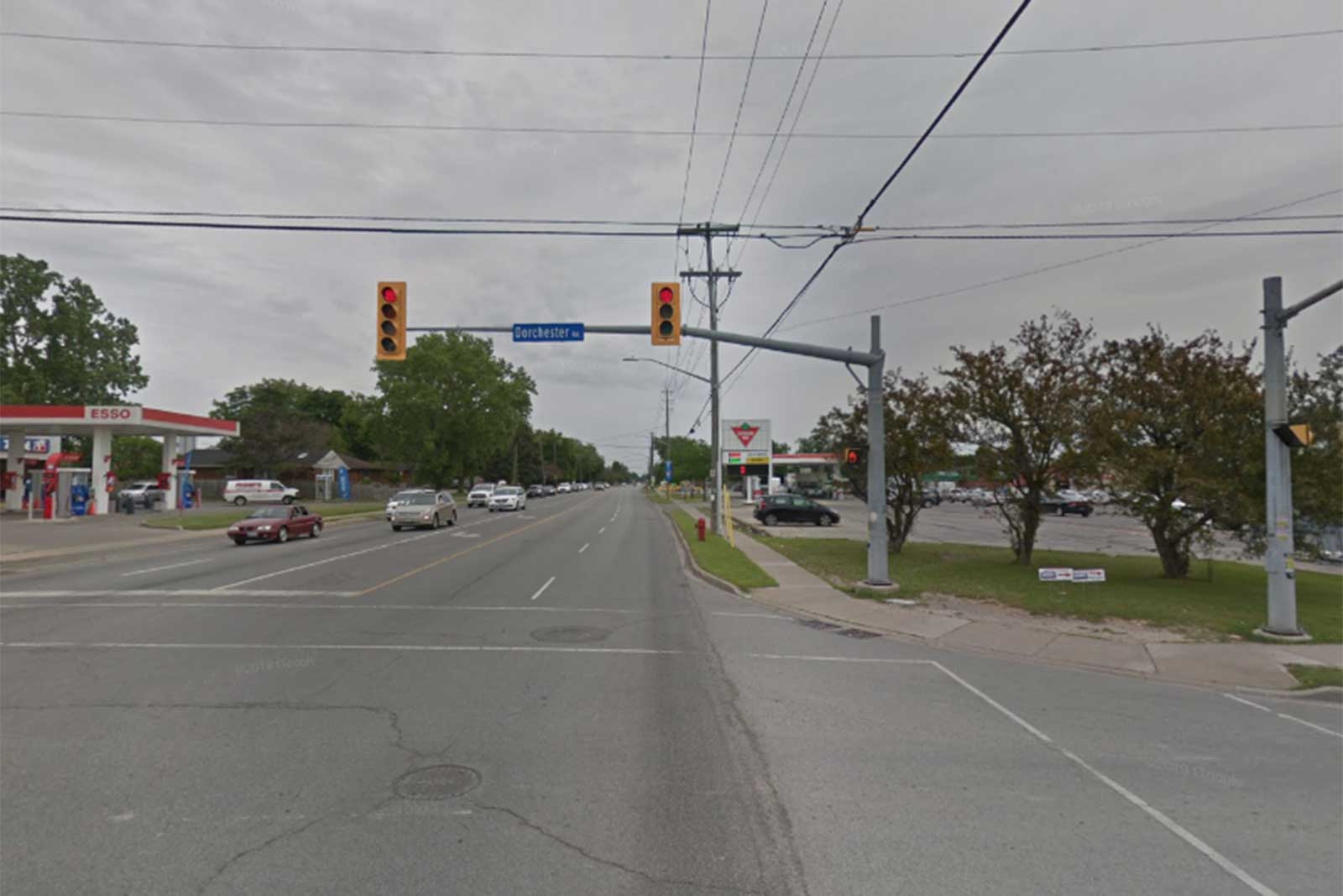
McLeod Road (Regional Road 49) is a major four lane east-west roadway extending from Stanley Avenue (Regional Road 102) to Thorold Townline Road (Regional Road 70) in Niagara Falls. McLeod Road provides direct access to north-south roadways, the QEW and major destinations. It also crosses two major barriers: the QEW and the Sir Adam Back Power Canal.
In 2011, a Schedule C Municipal Class Environmental Assessment study was completed to address issues including, but not limited to existing future travel demand, land servicing needs, inadequate pedestrian, cycling and transit facilities, operational and infrastructure deficiencies, and approved and proposed changes in land use.
The project limits are McLeod Road between Oakwood Drive and Wilson Crescent and include:
- New curbs, sidewalks and multi-use paths
- Sewers and watermains
- New asphalt
- Intersection improvements including traffic signals
- New traffic signal at Jubilee Drive and Sharon Avenue
- Landscaping
- Utility relocations